Field Method / Earlier pilots
Tool library.
Explore the individual tools behind our experiments in site documentation, visualization and design.
These pilots remain available for focused tasks and comparison, at their existing addresses.
Individual tools
4 browser-based pilots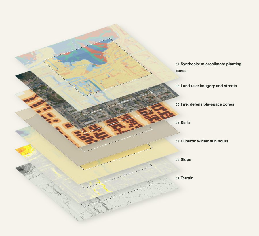
Site Dossier
Click any point in San Diego County for a layered, source-linked site record: terrain, sun, soils, water, fire and native planting zones, with preliminary sheets at a size you choose (24×36 in by default), CAD linework and a lidar point cloud.
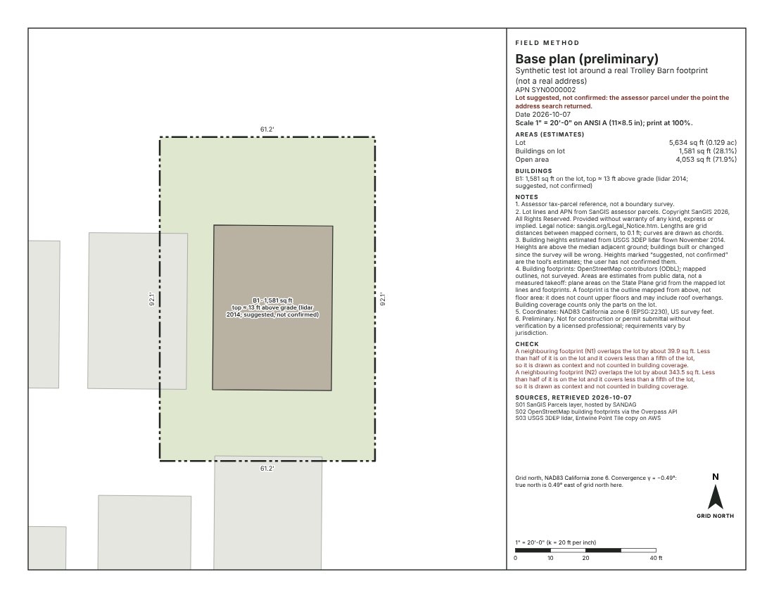
Base Plan
Choose one or more San Diego County parcels on the map and get a base plan at an engineering scale, with lot lines, footprints and estimated areas, CAD linework and a to-scale 3D model that opens in Material Studio. Estimates from public data, not a survey.
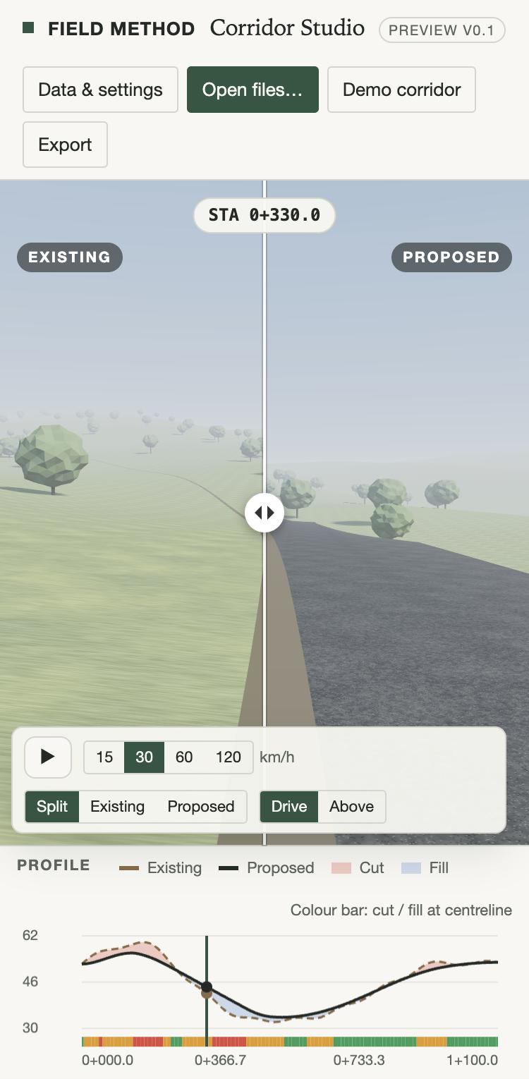
Corridor Studio
Drive a proposed alignment, swipe between existing ground and proposed grade, read how earthwork, grade and sight lines change station by station, draft a visual impact memo by landscape unit along the route, confirm or dismiss the candidate key views the app suggests, and check the route on an opt-in base map in San Diego County.
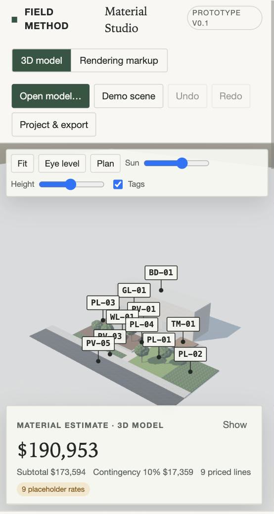
Material Studio
Apply materials to a 3D model or a rendering and get a design-stage material estimate in which every quantity traces back to the model geometry or to a value marked as entered.