pre-1500
Chinampas of Xochimilco
Indigenous (Nahua) farmers of the Basin of Mexico · Xochimilco, Mexico City, Mexico
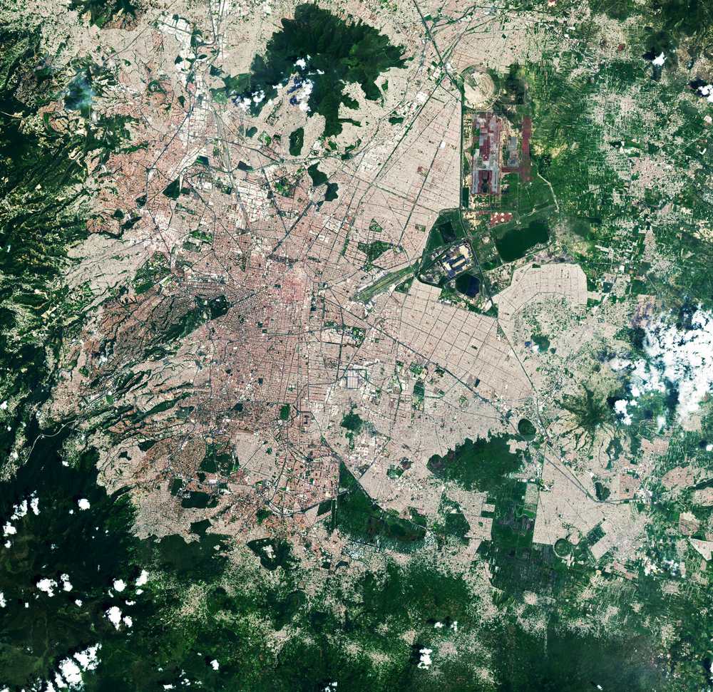
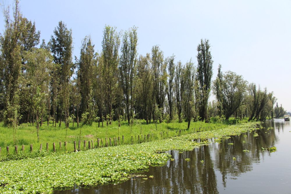
Artificial islands built from lake sediment, branches and decaying vegetation in the Xochimilco wetlands, separated by channels used for irrigation and transport. FAO links the practice to Aztec times and describes it as a working farm system.
How it came about and changed
- Pre-Hispanic (Postclassic, c. 13th–15th centuries)
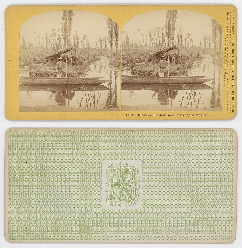
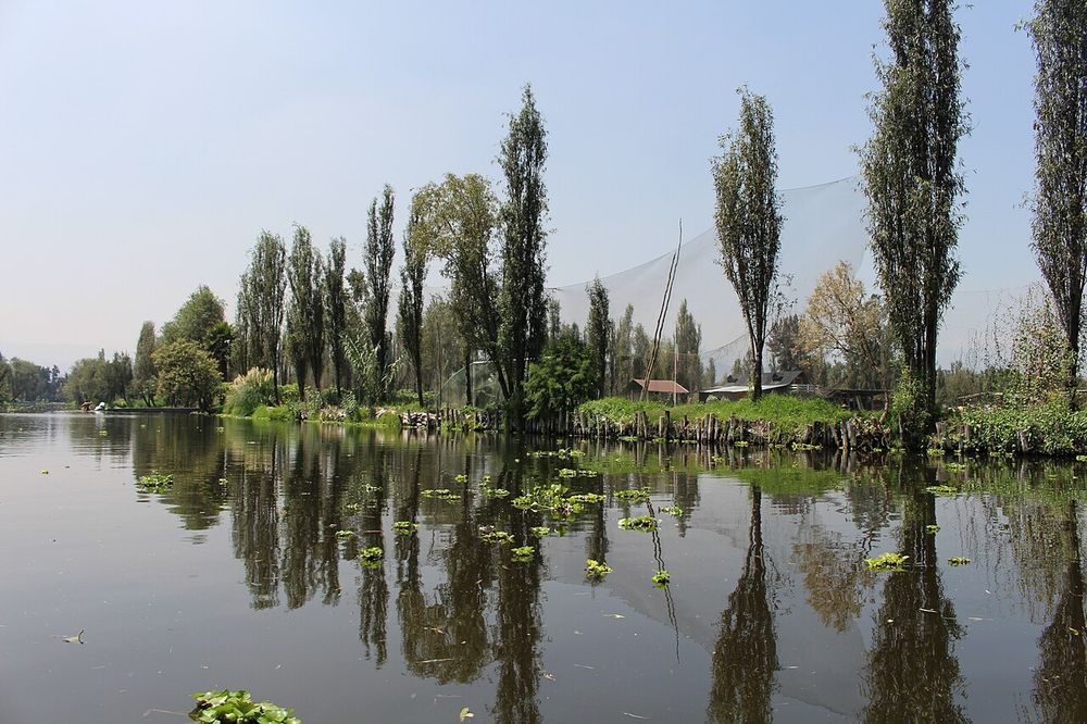
Chinampas are raised wetland fields built in strips from lake-bottom sediment, branches and decaying vegetation, staked with ahuejote willows and separated by canals. NASA's Earth Observatory notes that during the Aztec era crops grown in Xochimilco were shipped to the capital Tenochtitlan. FAO describes the system as a chinampa culture prevailing since Aztec times.13
- 16th–17th centuries
After the Spanish conquest the lakes of the Valley of Mexico began to be drained. Archaeological dating at El Japón, a hamlet in the Xochimilco marshlands, places burials between 1550 and 1650 cal. CE, showing that the chinampa landscape remained inhabited decades after colonial efforts to relocate Indigenous people into larger settlements.38
- 19th–20th centuries
What remained of the lakes was diverted and used up in the 1800s and 1900s, and most of the remaining wetlands and chinampas were covered by Mexico City's expansion; Xochimilco survives as the main relic of the lacustrine landscape.32
- 1987
Xochimilco was inscribed on the World Heritage List together with the Historic Centre of Mexico City on 11 December 1987 (World Heritage Committee, 11th session).52
- 1990s–2000s
By 2001 ICOMOS reported that the half-natural, half-artificial landscape was an ecological reserve including a 500-hectare heritage reserve, threatened by urban expansion and pollution. The core lake system is protected as the Natural Protected Area 'Ejidos de Xochimilco y San Gregorio Atlapulco' (Zona Sujeta a Conservación Ecológica, about 2,522 ha) and was designated a Ramsar wetland on 2 February 2004.267
- 2017–present
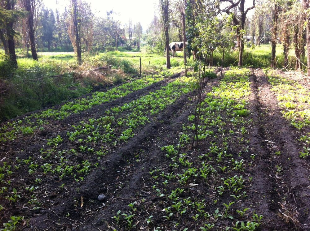
FAO designated the Chinampas Agricultural System in Mexico City a Globally Important Agricultural Heritage System in 2017, at the request of the Government of Mexico City and its Authority of the World Natural and Cultural Heritage Zone in Xochimilco, Tláhuac and Milpa Alta. Current conservation efforts include rehabilitation of chinampas in the Parque Ecológico Xochimilco led by WWF with the city's environment ministry (SEDEMA); NASA, citing National Geographic, reports that crops are grown on only about 2.5 percent of the remaining chinampas in the area.163




Approvals and legal steps
- 1987 Inscription of the Historic Centre of Mexico City and Xochimilco on the World Heritage List (property 412, criteria ii, iii, iv, v) at the 11th session of the World Heritage Committee, December 1987.5
- 2004 Designation of the Sistema Lacustre Ejidos de Xochimilco y San Gregorio Atlapulco (26.57 km2) as a Wetland of International Importance under the Ramsar Convention on 2 February 2004.67
- 2017 Recognition by FAO as a Globally Important Agricultural Heritage System (GIAHS).1
- (date not verified) The Ejidos de Xochimilco y San Gregorio Atlapulco are a Natural Protected Area in the category Zona Sujeta a Conservación Ecológica, under the Government of Mexico City.6
Funding
- 2020s Current rehabilitation of chinampas in the Parque Ecológico Xochimilco is part of a WWF programme coordinated with SEDEMA and supported by the Agence Française de Développement (AFD), the Fonds Français pour l'Environnement Mondial (FFEM) and Airbnb; no amounts are stated.6
People
- Nahua farming communities of the southern Basin of Mexico (chinamperos) Builders and cultivators of the chinampas, transmitting the technique orally
- Government of Mexico City / Authority of the World Natural and Cultural Heritage Zone in Xochimilco, Tláhuac and Milpa Alta Requesting agency and responsible body for the GIAHS designation
- Secretaría del Medio Ambiente de la Ciudad de México (SEDEMA) Environmental authority responsible for the protected area
- Universidad Autónoma Metropolitana Xochimilco; Universidad Nacional Autónoma de México Stakeholders named in the GIAHS designation
- WWF Mexico Conservation partner in chinampa rehabilitation at the Parque Ecológico Xochimilco
Sources for this page
- Food and Agriculture Organization of the United Nations (GIAHS), Chinampas Agricultural System in Mexico City, Mexico
- ICOMOS, World Heritage at Risk within Mexico (Heritage at Risk 2001)
- NASA Earth Observatory, Relic Chinampas in Mexico City (Image of the Day, 13 December 2022)
- NASA, NASA Images and Media Usage Guidelines
- UNESCO World Heritage Committee, Report of the World Heritage Committee, Eleventh session, 7–11 December 1987 (SC-87/CONF.005/9)
- WWF Mexico, Parque Ecológico Xochimilco: Sitios de Intervención Programa Agua (fact sheet)
- UNEP-WCMC, Protected Planet, Sistema Lacustre Ejidos de Xochimilco y San Gregorio Atlapulco (protected area profile)
- Cambridge University Press, Comparing Bioapatite and Collagen Radiocarbon Dates from a 16th Century Cemetery Context: El Japón, Xochimilco, Mexico City (Alarcón Tinajero, Hadden and Cherkinsky), Radiocarbon 66(6), 2024
- Wikidata, Lake Xochimilco (Q376095)
Researched on 2026-11-19 from the sources listed; a fact that could not be confirmed in a source was left out. Pictures are public domain or under an open licence, credited as their file page asks.
The question it brings · interpretation
What might a wetland edge become if growing ground and water channels were designed as one system instead of being kept apart?
Each question is Field Method’s interpretation, not a claim made by the source.
The date
Approximate placement, not a founding date. The system is pre-Hispanic; FAO links the practice to Aztec times, and an encyclopaedia dates the earliest securely dated fields to 1150-1350 CE. Inscribed on the World Heritage List on 11 December 1987 with the Historic Centre of Mexico City; FAO lists it as a GIAHS site since 2017.