6th c. BCE
Royal garden at Pasargadae
Court of Cyrus the Great (Achaemenid Persia) · Pasargadae, Fars province, Iran
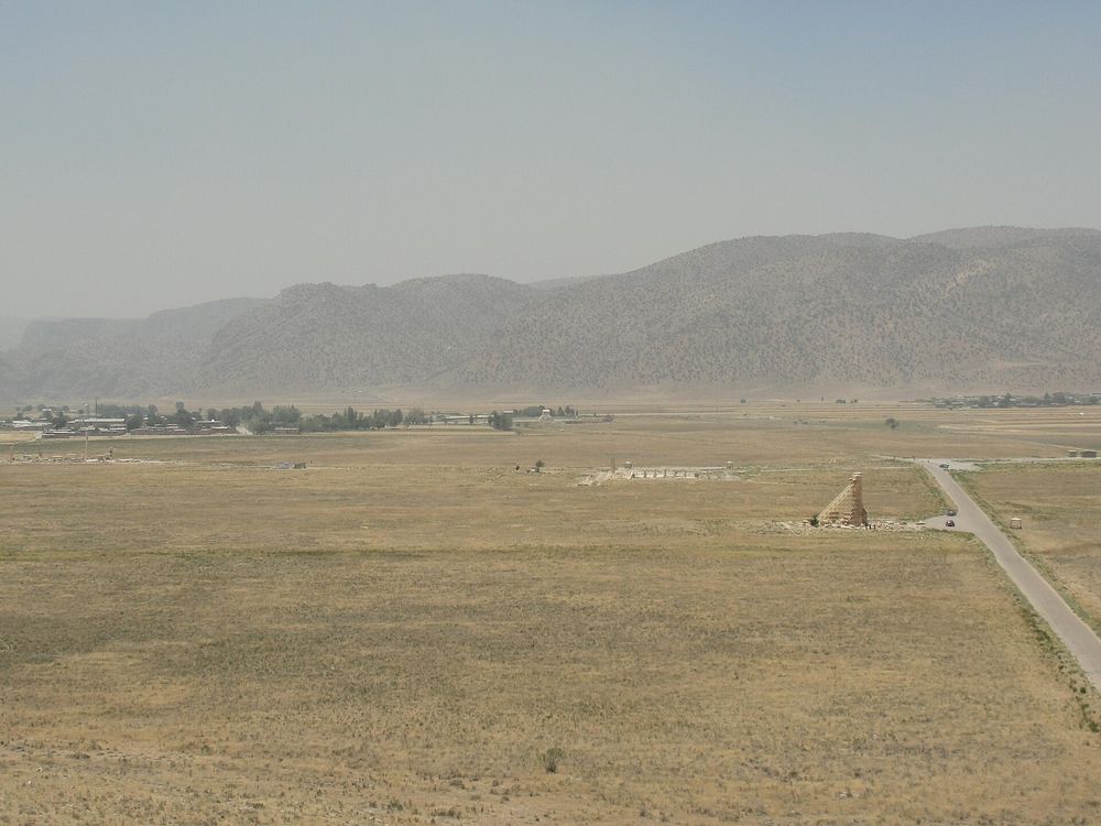
Stone water channels and basins excavated in front of Palace P outline a formal royal garden that links the palaces in one plan. Excavators reconstruct it as fourfold, the layout later called chahar bagh; that reconstruction is not certain.
How it came about and changed
- c. 547–530 BCE
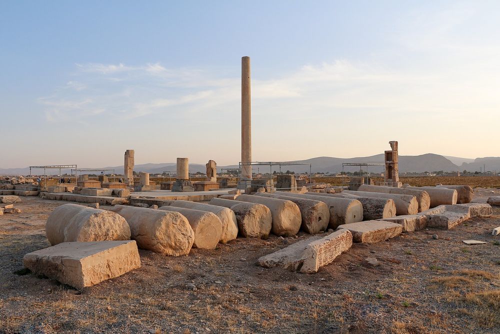
Pasargadae was the capital and burial place of Cyrus the Great (r. 559–530 BCE) in the Dasht-i Murghab, northern Fars. Iranica reports that its ashlar construction depended on Ionian stone-working techniques available to Cyrus only after his conquest of western Anatolia in or near 547 BCE (Nylander 1970), and that the palace area north of the tomb was laid out as a series of contiguous gardens linking Gate R, Palace S and Palace P in a single plan.1
- late 6th century BCE
Stone water channels and basins outlined two adjoining rectangles in front of Palace P; a throne base at the centre of Palace P's 'garden portico' suggests a central vista dividing the garden into four quarters, which Stronach proposed as the first known čahārbāḡ (fourfold garden). Palace P, begun under Cyrus, was probably completed by Darius I, whose reign also saw the 'Cyrus' inscriptions placed on the buildings (Old Persian script dated most probably to 519 BCE).1
- Achaemenid period to 330s BCE
Toothed-chisel marks on some channel stones point to continued maintenance, and a hoard of jewellery hidden in a water jar beside one of the garden's two pavilions in the last days of the empire shows the royal garden stayed in use through the Achaemenid period.1
- 1474–1908
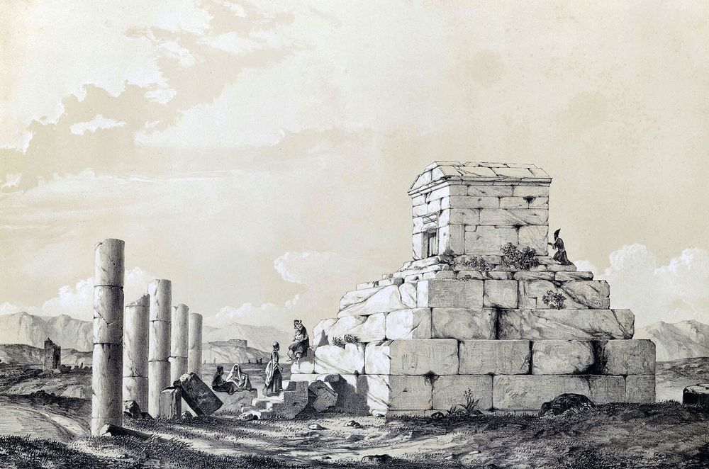
Travellers described the tomb as the 'tomb of the Mother of Solomon' from 1474; Morier (1812) and Ker Porter raised its identification with Pasargadae, which Curzon's review (1892) and Herzfeld's dissertation (1908) settled.1
- 1923–1963
Ernst Herzfeld made minor excavations in 1923 and a four-week season in 1928 that produced a site plan and exposed Gate R and Palaces S and P; Aurel Stein mapped the south of the plain in 1933 and E. F. Schmidt flew an aerial survey about two years later; ʿAli Sami ran six years of excavation and conservation from 1949; David Stronach directed British Institute of Persian Studies excavations in 1961–1963, giving particular attention to the garden in Achaemenid design.1
- 1999–2004
Geomagnetic surveys begun in 1999 and continued in 2001 (Boucharlat) showed that extensive areas of the site were landscaped on the same axis as the royal garden and palaces. In July 2004 Pasargadae was placed on the UNESCO World Heritage List.1



Approvals and legal steps
- 2004 Inscription of Pasargadae on the UNESCO World Heritage List (decision of July 2004, per Encyclopaedia Iranica).1
Funding
No source opened documents how the garden or palaces were paid for; the article identifies Cyrus as builder and Darius I as completing Palace P but gives no funding information. Nothing is stated about modern conservation funding.
People
- Cyrus the Great (r. 559–530 BCE) Founder of Pasargadae as capital and builder of the palace and garden complex
- Darius I (r. 522–486 BCE) Probably completed Palace P and placed the 'Cyrus' inscriptions
- Ernst Herzfeld First excavator (1923, 1928); site plan
- Aurel Stein Mapped the southern plain and sounded prehistoric mounds (1933)
- E. F. Schmidt Aerial survey of the main monuments (c. 1935)
- ʿAli Sami Excavation and conservation programme from 1949
- David Stronach Director of British Institute of Persian Studies excavations (1961–63); proposed the fourfold-garden reading
- Boucharlat (as cited by Iranica) Geomagnetic survey research 1999–2001 (cited as Boucharlat 2002)
Sources for this page
- Encyclopaedia Iranica, PASARGADAE (David Stronach and Hilary Gopnik, published 20 July 2009, last updated 12 June 2017)
- Wikidata, Pasargadae (Q230025)
Researched on 2026-11-19 from the sources listed; a fact that could not be confirmed in a source was left out. Pictures are public domain or under an open licence, credited as their file page asks.
The question it brings · interpretation
When a garden's fourfold plan is partly a reconstruction, how do you separate what was excavated from what later tradition leads you to expect?
Each question is Field Method’s interpretation, not a claim made by the source.
The date
Nominal year for ordering only. The opened sources date the founding of Pasargadae to the 6th century BCE under Cyrus the Great (reigned 559-530 BCE); no exact year for the garden is established.