01 / Location and base
Location and base
02 / Terrain
Terrain
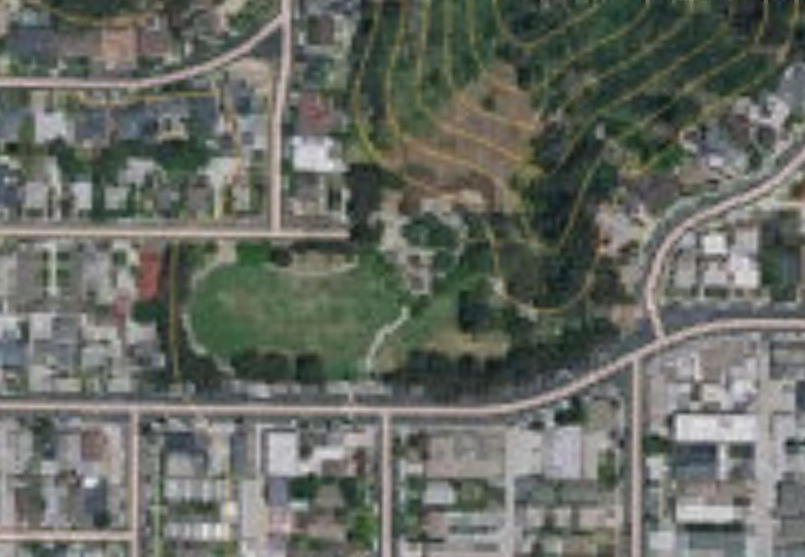
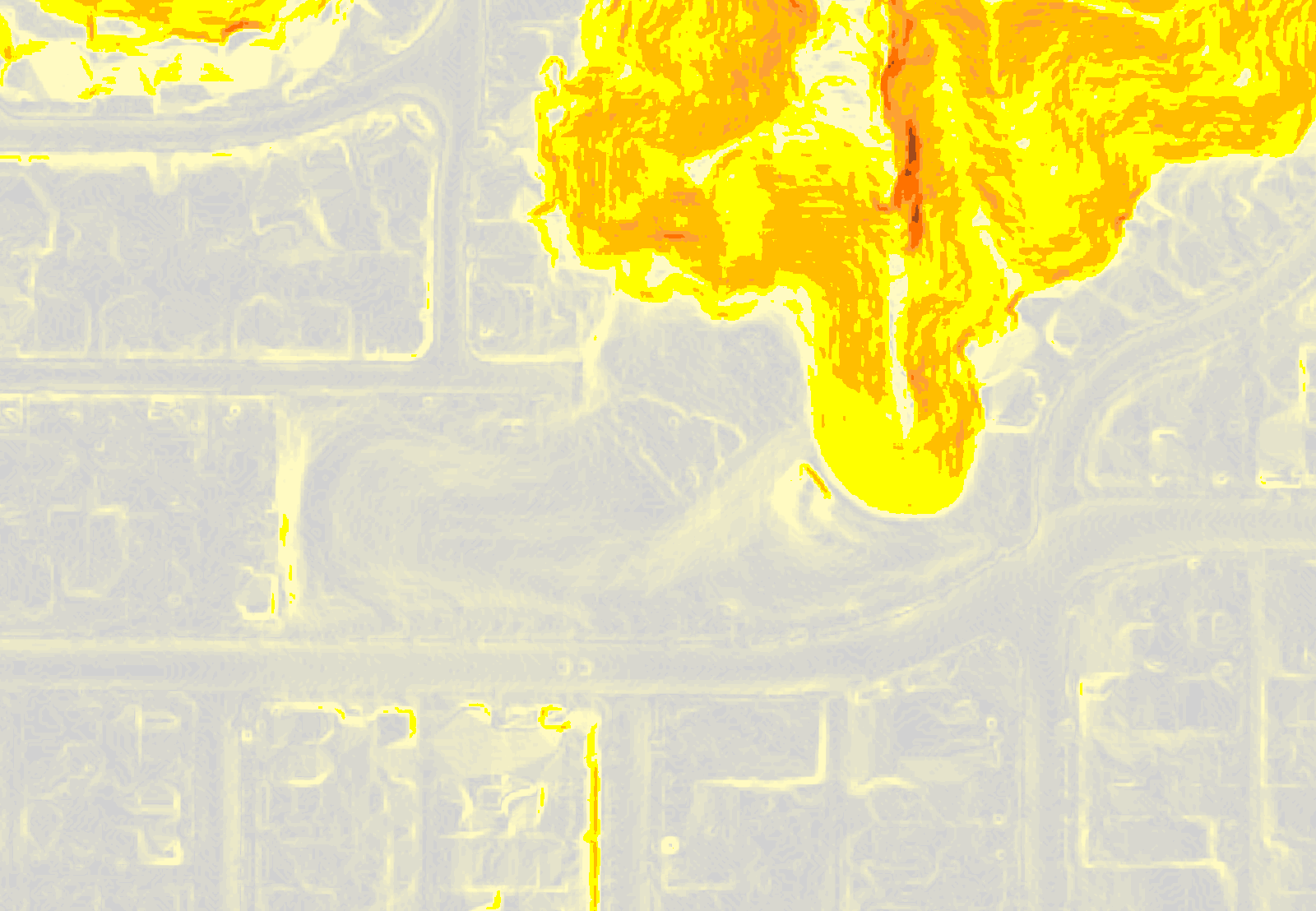
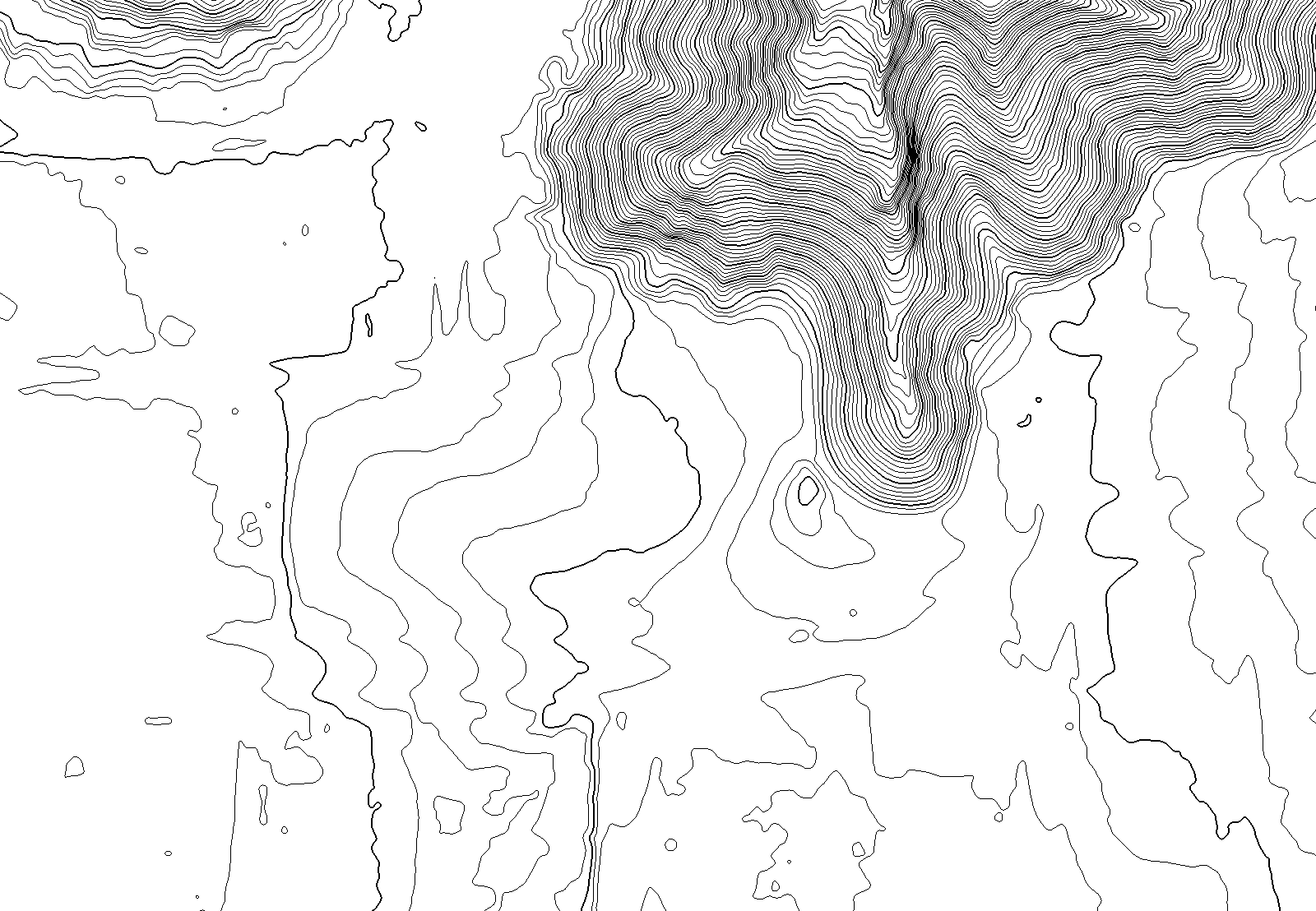
Inside the park outline the ground falls from 361 ft to 304 ft. Half the park is under 4.7% slope, but the steepest 5% exceeds 50%: the escarpment into the canyon on the north and east.
Cross-check: Field Method’s earlier analysis of the 0.5 m lidar DEM for the same outline found a median of 5.4% and 95th percentile of 53.5%, consistent with these 3.0 ft cells. Sources: S02, S03.

03 / Sun and climate
Sun and climate
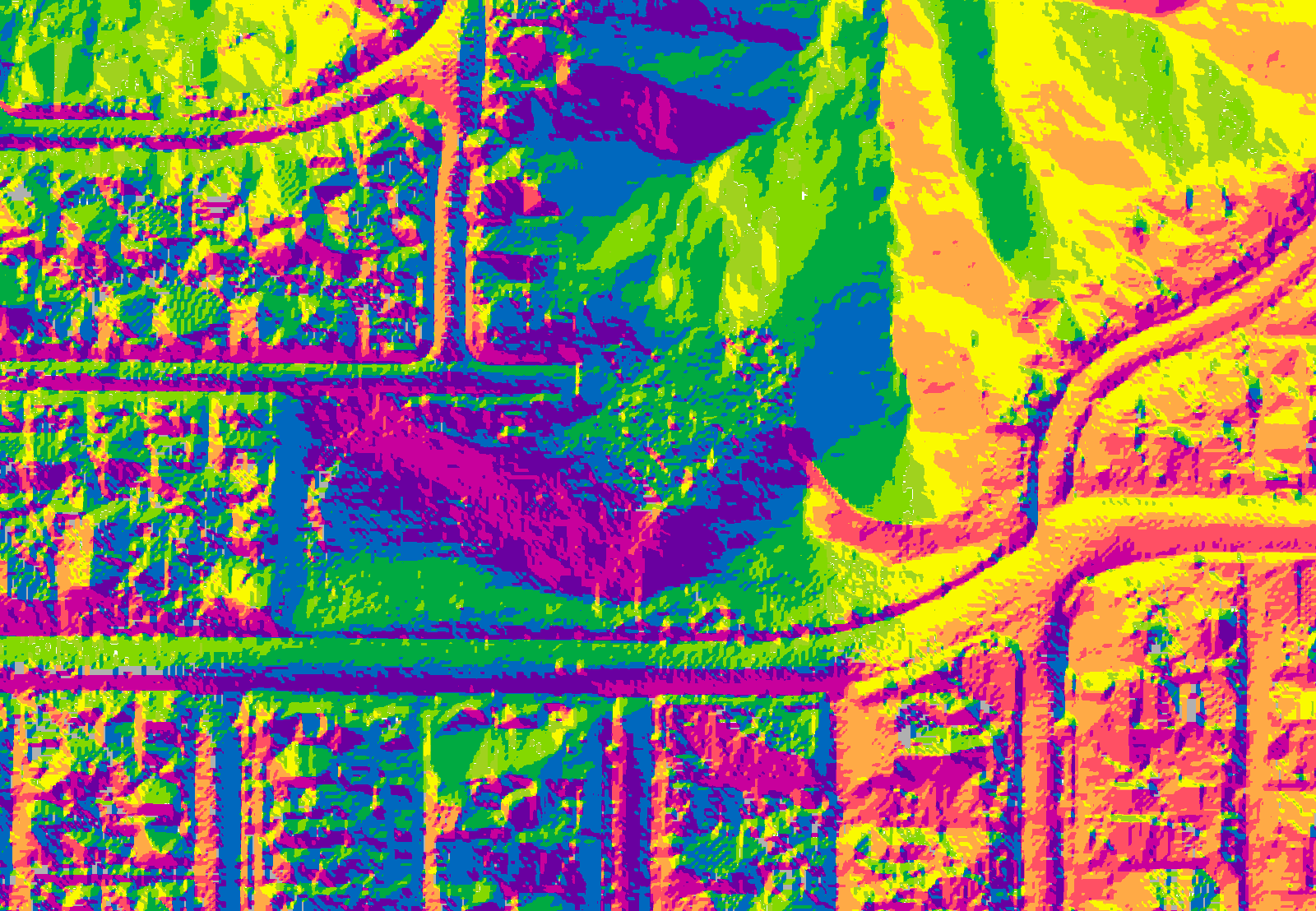
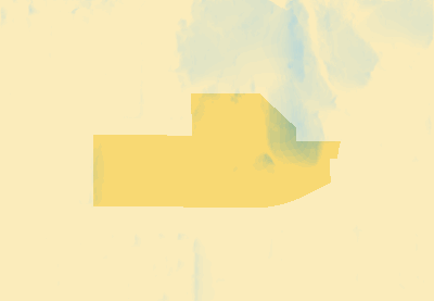
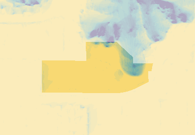
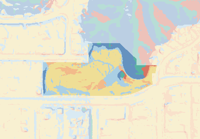
Aspect sets how much sun a slope receives; in coastal Southern California, south- and west-facing slopes are generally hotter and drier (interpretation). Measured from the terrain, direct sun on the solstices varies sharply across the park:
| Zone | December sun | June sun |
|---|---|---|
| Level ground | 9.5 of 9.5 h | 13.5 of 13.5 h |
| Gentle, cool-facing | 9.4 of 9.5 h | 13.5 of 13.5 h |
| Gentle, warm-facing | 9.5 of 9.5 h | 13.5 of 13.5 h |
| Steep, cool-facing | 7.1 of 9.5 h | 12.4 of 13.5 h |
| Steep, warm-facing | 7.4 of 9.5 h | 12.0 of 13.5 h |
| Swale or drainage line | 5.5 of 9.5 h | 11.2 of 13.5 h |
Climate normals (1991–2020) at SAN DIEGO LINDBERGH FLD, CA US, 3.1 mi away: 9.8 in of rain a year; coldest-month average low 49.8 °F; warmest-month average high 77.3 °F. The park sits inland on a mesa and may run warmer in summer and cooler on winter nights. Hardiness zone: look up ZIP 92116 (S15).
Sun hours count terrain shading inside the map only, not buildings or trees. Sources: S02, S13, S14.
04 / Soils
Soils
- Ur Urban land · Urban land 100%, hydrologic group D
- TeF Terrace escarpments · Terrace escarpments 100%
Soil survey map units at 1:12,000–1:24,000, not a site investigation. Source: S04.
05 / Water
Water and drainage
24 mapped flowlines lie within a mile; the nearest (Unnamed flowline) passes about 124 ft from the park centre, in the canyon. Swales detected in the elevation data are shown in the microclimate zones (07).
Mapped streams omit storm drains and small drainages. Source: S05, S03.
06 / Fire
Fire hazard and defensible space
The State’s dated 2011 Local Responsibility Area layer places the park centre in a Very High fire hazard severity zone. CAL FIRE has since adopted newer maps: confirm the current designation before relying on it.
Defensible-space zones are drawn around 137 mapped structures in the frame: Zone 0 (0–5 ft), Zone 1 (5–30 ft) and Zone 2 (30–100 ft). Planting near the park edge falls within neighbours’ zones.
07 / Synthesis
Microclimate planting zones
Slope, aspect and topographic position combine into six zones. They frame native planting that lets habitat thrive while keeping fuel low near structures. Species selection is the next step, by a landscape architect using Calscape and water-use data.
| Zone | Rule | Share of park | Planting direction (interpretation) |
|---|---|---|---|
| Level ground | slope under 5% | 53.6% | Use areas and lawn alternatives: low native groundcovers and meadow species. Within 30 ft of structures keep plants low, well spaced and irrigated. |
| Gentle, cool-facing | 5–15%, facing north or east | 20.5% | Cooler and moister: native shrubs and perennials suited to part shade, with spacing maintained near structures. |
| Gentle, warm-facing | 5–15%, facing south or west | 8.7% | Hotter and drier: low, drought-adapted natives; avoid dense, resinous shrubs near structures. |
| Steep, cool-facing | over 15%, facing north or east | 12.8% | Slope stability first: deep-rooted native shrubs, with fuel managed within 100 ft of structures. |
| Steep, warm-facing | over 15%, facing south or west | 1.8% | Hottest, driest exposure: erosion control with sparse, low-fuel natives; the highest fire concern near structures. |
| Swale or drainage line | at least 1.5 ft below its 30 ft surroundings | 2.7% | Seasonal moisture: natives tolerant of periodically wet soil; keep drainage paths open. |
Draft native palette by zone
Each species is confirmed as native in the USDA PLANTS database; its zone placement is Field Method’s draft for review by a licensed landscape architect. Check each on Calscape for this location and on WUCOLS for water use. No plant is fireproof: in Zone 0 keep the ground non-combustible, and keep Zone 1 lean, clean and green.
| Species | Zones | Role | Fire placement |
|---|---|---|---|
| Carex praegracilis clustered field sedge · USDA CAPR5 · Calscape | Level ground; Swale or drainage line | Lawn alternative and swale sedge | Low plant: acceptable in Zone 1 if kept low, irrigated and free of dead material; keep Zone 0 non-combustible (S08). |
| Achillea millefolium common yarrow · USDA ACMI2 · Calscape | Level ground | Low perennial for use areas | Low plant: acceptable in Zone 1 if kept low, irrigated and free of dead material; keep Zone 0 non-combustible (S08). |
| Sisyrinchium bellum western blue-eyed grass · USDA SIBE · Calscape | Level ground; Gentle, cool-facing | Low perennial | Low plant: acceptable in Zone 1 if kept low, irrigated and free of dead material; keep Zone 0 non-combustible (S08). |
| Muhlenbergia rigens deergrass · USDA MURI2 · Calscape | Level ground; Gentle, warm-facing | Bunchgrass accent | Low plant: acceptable in Zone 1 if kept low, irrigated and free of dead material; keep Zone 0 non-combustible (S08). |
| Heteromeles arbutifolia toyon · USDA HEAR5 · Calscape | Gentle, cool-facing; Steep, cool-facing | Large shrub | Keep out of Zone 0; space and maintain in Zones 1–2 (S08). |
| Ribes speciosum fuchsiaflower gooseberry · USDA RISP · Calscape | Gentle, cool-facing | Shrub for part shade | Keep out of Zone 0; space and maintain in Zones 1–2 (S08). |
| Rhus integrifolia lemonade sumac · USDA RHIN2 · Calscape | Gentle, cool-facing; Steep, cool-facing | Large shrub | Keep out of Zone 0; space and maintain in Zones 1–2 (S08). |
| Prunus ilicifolia hollyleaf cherry · USDA PRIL · Calscape | Steep, cool-facing | Large shrub | Keep out of Zone 0; space and maintain in Zones 1–2 (S08). |
| Quercus agrifolia California live oak · USDA QUAG · Calscape | Steep, cool-facing | Tree | Keep out of Zone 0; space and maintain in Zones 1–2 (S08). |
| Encelia californica California brittlebush · USDA ENCA · Calscape | Gentle, warm-facing | Small shrub | Keep out of Zone 0; space and maintain in Zones 1–2 (S08). |
| Epilobium canum hummingbird trumpet · USDA EPCA3 · Calscape | Gentle, warm-facing | Perennial | Keep out of Zone 0; space and maintain in Zones 1–2 (S08). |
| Eriogonum fasciculatum Eastern Mojave buckwheat · USDA ERFA2 · Calscape | Gentle, warm-facing; Steep, warm-facing | Small shrub | Keep out of Zone 0; space and maintain in Zones 1–2 (S08). |
| Nassella pulchra purple needlegrass · USDA NAPU4 · Calscape | Gentle, warm-facing; Steep, warm-facing | Bunchgrass | Low plant: acceptable in Zone 1 if kept low, irrigated and free of dead material; keep Zone 0 non-combustible (S08). |
| Opuntia littoralis coastal pricklypear · USDA OPLI3 · Calscape | Steep, warm-facing | Succulent | Keep out of Zone 0; space and maintain in Zones 1–2 (S08). |
| Dudleya pulverulenta chalk dudleya · USDA DUPU · Calscape | Steep, warm-facing | Succulent | Low plant: acceptable in Zone 1 if kept low, irrigated and free of dead material; keep Zone 0 non-combustible (S08). |
| Yucca schidigera Mojave yucca · USDA YUSC2 · Calscape | Steep, warm-facing | Succulent | Keep out of Zone 0; space and maintain in Zones 1–2 (S08). |
| Iva hayesiana San Diego povertyweed · USDA IVHA · Calscape | Swale or drainage line | Low shrub for moist ground | Keep out of Zone 0; space and maintain in Zones 1–2 (S08). |
| Platanus racemosa California sycamore · USDA PLRA · Calscape | Swale or drainage line | Tree for drainage corridors | Keep out of Zone 0; space and maintain in Zones 1–2 (S08). |
| Baccharis salicifolia mule-fat · USDA BASA4 · Calscape | Swale or drainage line | Shrub for drainage corridors | Keep out of Zone 0; space and maintain in Zones 1–2 (S08). |
Zones are Field Method interpretation of S03, S13; planting sources S16, S11, S12, S08.
08 / Next steps
From dossier to permit
This dossier is permit support, not a permit set. Permit drawings are prepared and stamped by licensed professionals. Before design or permitting, the project needs:
- A boundary and topographic survey by a licensed land surveyor.
- Geotechnical review of the escarpment and soils where grading or structures are proposed.
- Grading and drainage design by a licensed civil engineer.
- Planting, irrigation and fire-safe landscape plans by a licensed landscape architect, checked against the current fire hazard designation and local requirements.
- Confirmation of the current fire hazard severity zone and any City and fire-department review requirements.
To start drawings, the CAD linework (DXF) places 2 ft contours, the park outline, soils, building footprints, defensible-space rings and microclimate zones at true State Plane coordinates (US ft). Replace the public contours and outline with the licensed survey when it arrives.
09 / Evidence register
Evidence register
- S01 USGS The National Map: Imagery Topo basemap (orthoimagery and US Topo). Retrieved 2026-10-05. Public domain; service notes data refreshed April 2026.
- S02 USGS 3D Elevation Program (3DEP) dynamic elevation service. Retrieved 2026-10-05. Public domain; best available resolution at request time, here lidar-derived. Rendered layers: multidirectional hillshade, slope, aspect, 2 ft contours.
- S03 Field Method analysis of USGS 3DEP elevation. Retrieved 2026-10-05. Elevation sampled at 3.0 ft cells (bilinear) in EPSG:2230; Horn 3×3 slope and aspect; topographic position within 30 ft. Classes are Field Method interpretation.
- S04 USDA NRCS Soil Survey Geographic Database (SSURGO) via Soil Data Access. Retrieved 2026-10-05. Map unit polygons and major components intersecting the frame. Soil survey scale is generally 1:12,000–1:24,000; not a site-specific soil investigation.
- S05 USGS National Hydrography Dataset (NHD), flowlines, large scale. Retrieved 2026-10-05. Mapped flowlines within one mile of the park. NHD is mapped at 1:24,000 or better; small drainages and storm drains may be missing.
- S06 State of California GIS: Fire Hazard Severity Zones service. Retrieved 2026-10-05. Layers dated 2007 (SRA) and 2011 (LRA recommended). CAL FIRE has since adopted newer maps; confirm the current designation with the Office of the State Fire Marshal before relying on it.
- S07 CAL FIRE Office of the State Fire Marshal, Fire Hazard Severity Zones. Retrieved 2026-10-05. Current official maps and regulations.
- S08 CAL FIRE Ready for Wildfire: defensible space. Retrieved 2026-10-05. Defensible-space zones measured from structures: Zone 0 (0–5 ft), Zone 1 (5–30 ft), Zone 2 (30–100 ft).
- S09 OpenStreetMap building footprints via the Overpass API. Retrieved 2026-10-05. © OpenStreetMap contributors, ODbL. Footprints are community-mapped and may be incomplete or outdated.
- S10 City of San Diego Parks and Recreation, Developed Parks layer (OBJECTID 279). Retrieved 2026-10-05. Administrative park outline, not a surveyed boundary. Publication terms of the service are not stated; source-specific review is still open.
- S11 Calscape, California Native Plant Society. Retrieved 2026-10-05. Native plant search by location and growing conditions; species selection is a next step for the landscape architect.
- S12 WUCOLS: Water Use Classification of Landscape Species (UC ANR). Retrieved 2026-10-05. Plant water-use classes by California region.
- S13 Field Method sun-hours analysis of USGS 3DEP elevation. Retrieved 2026-10-05. Direct sun in half-hour steps on the June and December solstices (sun more than 3° above the horizon), shading from terrain within the map frame only; buildings, trees and terrain outside the frame are not included.
- S14 NOAA NCEI U.S. Climate Normals 1991–2020 (monthly), station USW00023188. Retrieved 2026-10-05. Nearest first-order station, near the coast; the site is inland on a mesa and may be warmer in summer and cooler on winter nights.
- S15 USDA Plant Hardiness Zone Map (2023). Retrieved 2026-10-05. Look up the zone for ZIP 92116; not retrieved automatically in this prototype.
- S16 USDA NRCS PLANTS Database. Retrieved 2026-10-05. Accepted names, common names, growth habit and native status (native in the lower 48 states) for each palette species. Placement by zone is Field Method interpretation for review by a licensed landscape architect.
Not a survey and not for construction or permit. Generated 2026-10-05 from public data; layers have different dates, scales and accuracy. Field verification and professional review are pending.