

Trolley Barn Park · Site Dossier sheets10 sheets · 36×24 in · plans at 1" = 50'-0" · NCS/UDS sheet IDsBack to the dossierSet the printer or PDF paper size to 36×24 inches, landscape, no margins, scale 100%.

Site Dossier · pre-design analysis

Old Trolley Barn Neighborhood Park

1900 Adams Ave., San Diego, CA 92116 · UPTOWN, San Diego

Sheet index

G-001Cover sheet, index and general notes
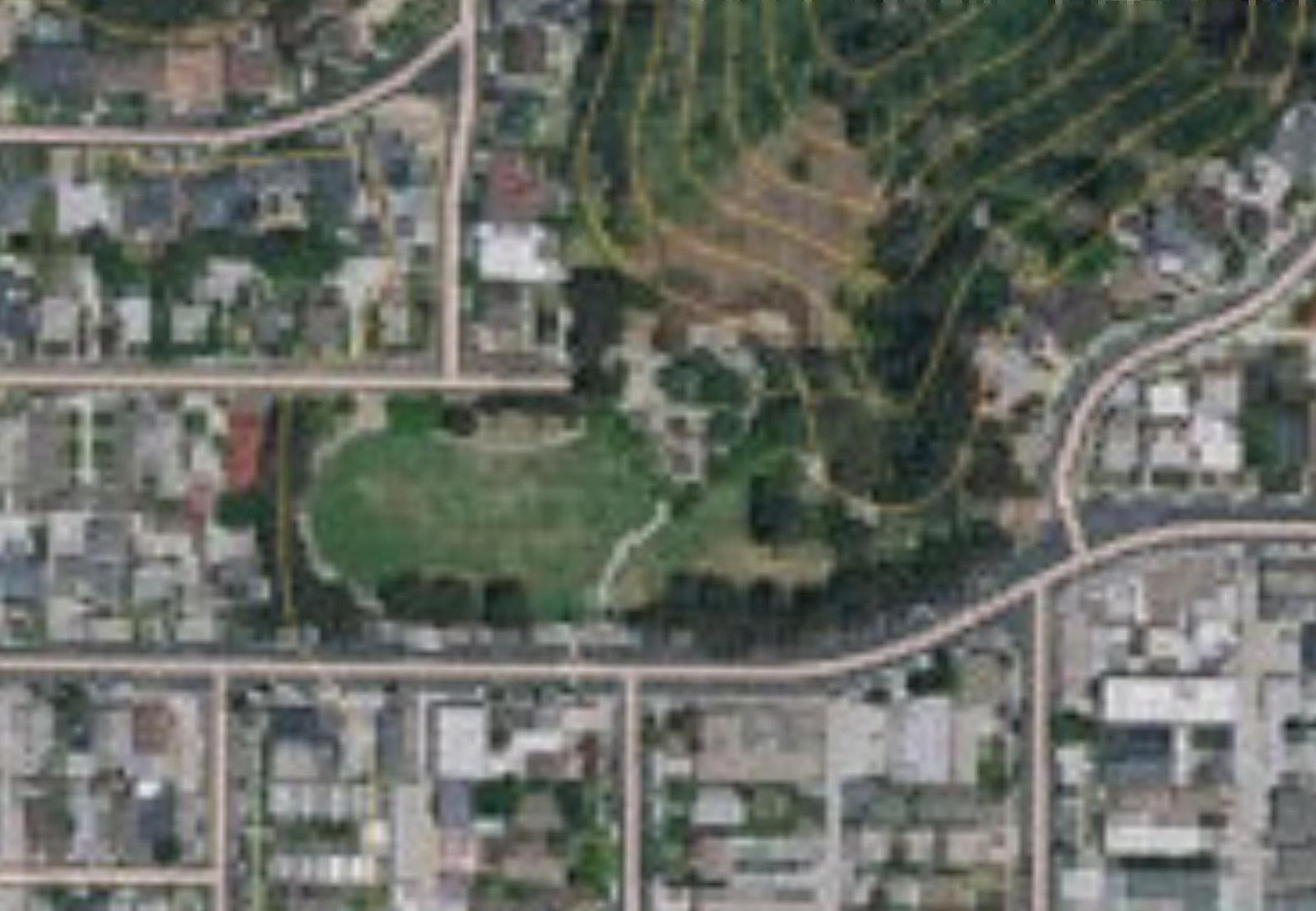
L-101Site base and context
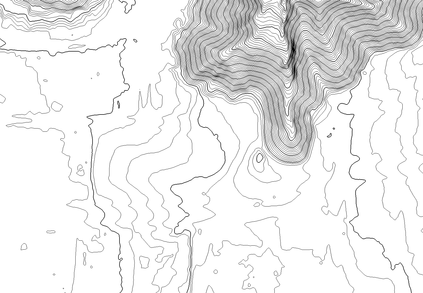
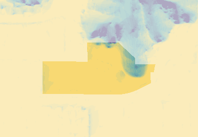
L-102Terrain and 2 ft contours
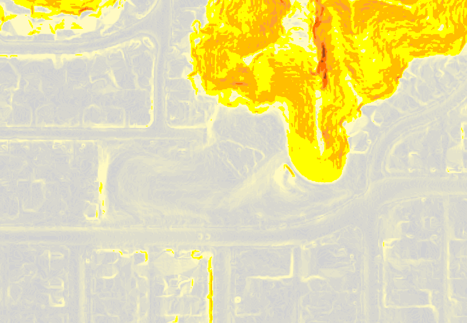
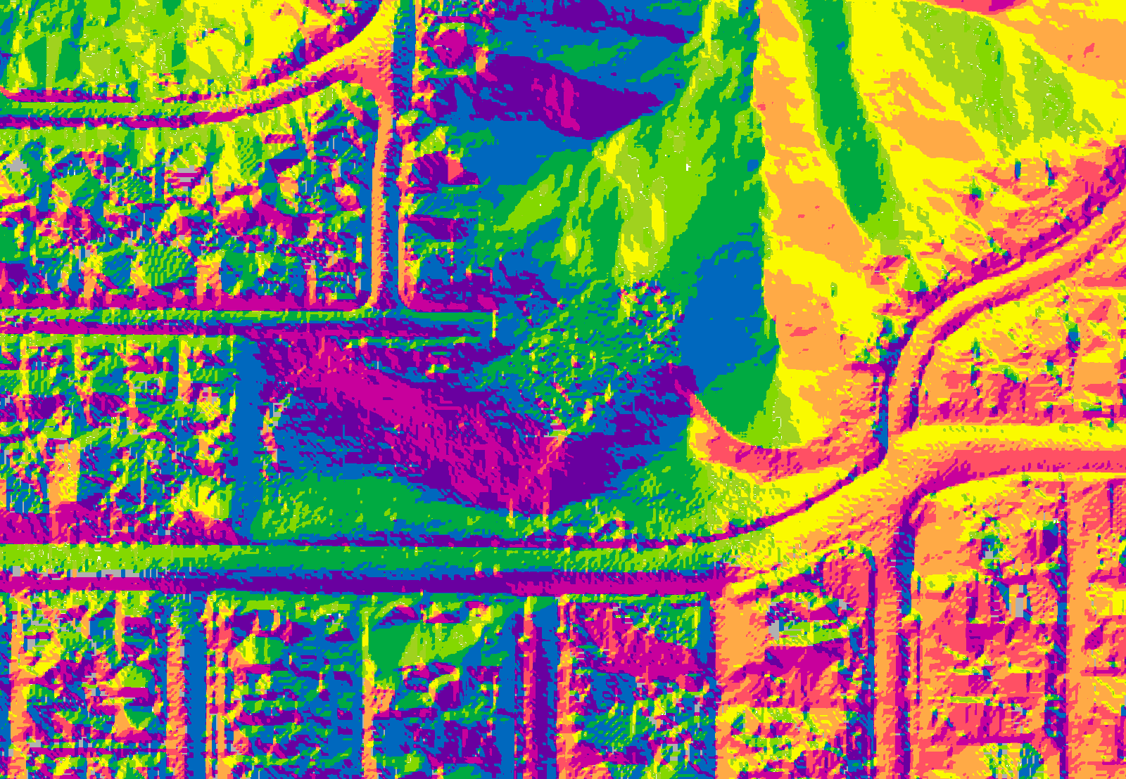
L-103Slope and aspect
L-104Sun hours, December solstice
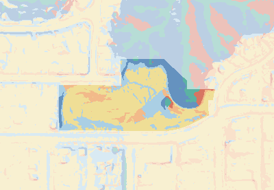
L-105Soils and drainage
L-106Fire hazard and defensible space
L-107Microclimate planting zones
L-601Native planting palette (draft schedule)
G-002Evidence register

General notes

  1. This set records existing conditions and analysis from public data for coordination with licensed professionals. It is not a survey and not a construction or permit document.
  2. Horizontal frame: NAD83 / California zone 6 (ftUS) (EPSG:2230). Elevations per USGS 3DEP (NAVD88). Park outline is administrative (City of San Diego GIS), not a surveyed boundary.
  3. Layers differ in date, scale and accuracy; see G-002. Field verification and professional review are pending.
  4. Permit drawings require a boundary and topographic survey by a licensed land surveyor, and design by licensed professionals (civil engineer, landscape architect) for grading, drainage, planting and irrigation.
  5. Fire hazard designation shown is from a dated State layer; confirm the current CAL FIRE map before design.
  6. Sheet identification follows the U.S. National CAD Standard / Uniform Drawing System format (discipline, sheet type, sequence).
  7. Linework for these sheets is available as DXF R12 in EPSG:2230 US survey feet (fieldmethod.co/dossier/trolley-barn/trolley-barn-dossier.dxf); layers: C-TOPO-MINR, C-TOPO-MAJR, L-SITE-BNDY, C-SOIL-BNDY, V-BLDG-OTLN, L-FIRE-ZONE-0, L-FIRE-ZONE-1, L-FIRE-ZONE-2, L-PLNT-ZONE-1, L-PLNT-ZONE-2, L-PLNT-ZONE-3, L-PLNT-ZONE-4, L-PLNT-ZONE-5, L-PLNT-ZONE-6, G-ANNO-NOTE.

Native planting palette by microclimate zone (draft)

Native status per USDA PLANTS (S16). Zone placement is Field Method interpretation for review by a licensed landscape architect; confirm local suitability on Calscape (S11) and water use on WUCOLS (S12). No plant is fireproof: keep Zone 0 non-combustible (S08).

Botanical nameCommon name (USDA)USDA symbolZonesRoleFire placement
Carex praegracilisclustered field sedgeCAPR5Level ground; Swale or drainage lineLawn alternative and swale sedgeLow plant: acceptable in Zone 1 if kept low, irrigated and free of dead material; keep Zone 0 non-combustible.
Achillea millefoliumcommon yarrowACMI2Level groundLow perennial for use areasLow plant: acceptable in Zone 1 if kept low, irrigated and free of dead material; keep Zone 0 non-combustible.
Sisyrinchium bellumwestern blue-eyed grassSIBELevel ground; Gentle, cool-facingLow perennialLow plant: acceptable in Zone 1 if kept low, irrigated and free of dead material; keep Zone 0 non-combustible.
Muhlenbergia rigensdeergrassMURI2Level ground; Gentle, warm-facingBunchgrass accentLow plant: acceptable in Zone 1 if kept low, irrigated and free of dead material; keep Zone 0 non-combustible.
Heteromeles arbutifoliatoyonHEAR5Gentle, cool-facing; Steep, cool-facingLarge shrubKeep out of Zone 0; space and maintain in Zones 1–2.
Ribes speciosumfuchsiaflower gooseberryRISPGentle, cool-facingShrub for part shadeKeep out of Zone 0; space and maintain in Zones 1–2.
Rhus integrifolialemonade sumacRHIN2Gentle, cool-facing; Steep, cool-facingLarge shrubKeep out of Zone 0; space and maintain in Zones 1–2.
Prunus ilicifoliahollyleaf cherryPRILSteep, cool-facingLarge shrubKeep out of Zone 0; space and maintain in Zones 1–2.
Quercus agrifoliaCalifornia live oakQUAGSteep, cool-facingTreeKeep out of Zone 0; space and maintain in Zones 1–2.
Encelia californicaCalifornia brittlebushENCAGentle, warm-facingSmall shrubKeep out of Zone 0; space and maintain in Zones 1–2.
Epilobium canumhummingbird trumpetEPCA3Gentle, warm-facingPerennialKeep out of Zone 0; space and maintain in Zones 1–2.
Eriogonum fasciculatumEastern Mojave buckwheatERFA2Gentle, warm-facing; Steep, warm-facingSmall shrubKeep out of Zone 0; space and maintain in Zones 1–2.
Nassella pulchrapurple needlegrassNAPU4Gentle, warm-facing; Steep, warm-facingBunchgrassLow plant: acceptable in Zone 1 if kept low, irrigated and free of dead material; keep Zone 0 non-combustible.
Opuntia littoraliscoastal pricklypearOPLI3Steep, warm-facingSucculentKeep out of Zone 0; space and maintain in Zones 1–2.
Dudleya pulverulentachalk dudleyaDUPUSteep, warm-facingSucculentLow plant: acceptable in Zone 1 if kept low, irrigated and free of dead material; keep Zone 0 non-combustible.
Yucca schidigeraMojave yuccaYUSC2Steep, warm-facingSucculentKeep out of Zone 0; space and maintain in Zones 1–2.
Iva hayesianaSan Diego povertyweedIVHASwale or drainage lineLow shrub for moist groundKeep out of Zone 0; space and maintain in Zones 1–2.
Platanus racemosaCalifornia sycamorePLRASwale or drainage lineTree for drainage corridorsKeep out of Zone 0; space and maintain in Zones 1–2.
Baccharis salicifoliamule-fatBASA4Swale or drainage lineShrub for drainage corridorsKeep out of Zone 0; space and maintain in Zones 1–2.

Evidence register

  1. S01 USGS The National Map: Imagery Topo basemap (orthoimagery and US Topo). Retrieved 2026-10-05. https://basemap.nationalmap.gov/arcgis/rest/services/USGSImageryTopo/MapServer. Public domain; service notes data refreshed April 2026.
  2. S02 USGS 3D Elevation Program (3DEP) dynamic elevation service. Retrieved 2026-10-05. https://elevation.nationalmap.gov/arcgis/rest/services/3DEPElevation/ImageServer. Public domain; best available resolution at request time, here lidar-derived. Rendered layers: multidirectional hillshade, slope, aspect, 2 ft contours.
  3. S03 Field Method analysis of USGS 3DEP elevation. Retrieved 2026-10-05. https://elevation.nationalmap.gov/arcgis/rest/services/3DEPElevation/ImageServer. Elevation sampled at 3.0 ft cells (bilinear) in EPSG:2230; Horn 3×3 slope and aspect; topographic position within 30 ft. Classes are Field Method interpretation.
  4. S04 USDA NRCS Soil Survey Geographic Database (SSURGO) via Soil Data Access. Retrieved 2026-10-05. https://sdmdataaccess.nrcs.usda.gov/. Map unit polygons and major components intersecting the frame. Soil survey scale is generally 1:12,000–1:24,000; not a site-specific soil investigation.
  5. S05 USGS National Hydrography Dataset (NHD), flowlines, large scale. Retrieved 2026-10-05. https://hydro.nationalmap.gov/arcgis/rest/services/nhd/MapServer/6. Mapped flowlines within one mile of the park. NHD is mapped at 1:24,000 or better; small drainages and storm drains may be missing.
  6. S06 State of California GIS: Fire Hazard Severity Zones service. Retrieved 2026-10-05. https://services.gis.ca.gov/arcgis/rest/services/Environment/Fire_Severity_Zones/MapServer. Layers dated 2007 (SRA) and 2011 (LRA recommended). CAL FIRE has since adopted newer maps; confirm the current designation with the Office of the State Fire Marshal before relying on it.
  7. S07 CAL FIRE Office of the State Fire Marshal, Fire Hazard Severity Zones. Retrieved 2026-10-05. https://osfm.fire.ca.gov/. Current official maps and regulations.
  8. S08 CAL FIRE Ready for Wildfire: defensible space. Retrieved 2026-10-05. https://www.readyforwildfire.org/. Defensible-space zones measured from structures: Zone 0 (0–5 ft), Zone 1 (5–30 ft), Zone 2 (30–100 ft).
  9. S09 OpenStreetMap building footprints via the Overpass API. Retrieved 2026-10-05. https://www.openstreetmap.org/copyright. © OpenStreetMap contributors, ODbL. Footprints are community-mapped and may be incomplete or outdated.
  10. S10 City of San Diego Parks and Recreation, Developed Parks layer (OBJECTID 279). Retrieved 2026-10-05. https://webmaps.sandiego.gov/arcgis/rest/services/SDPR/SDPR_Public/MapServer/3. Administrative park outline, not a surveyed boundary. Publication terms of the service are not stated; source-specific review is still open.
  11. S11 Calscape, California Native Plant Society. Retrieved 2026-10-05. https://calscape.org/. Native plant search by location and growing conditions; species selection is a next step for the landscape architect.
  12. S12 WUCOLS: Water Use Classification of Landscape Species (UC ANR). Retrieved 2026-10-05. https://ucanr.edu/sites/WUCOLS/. Plant water-use classes by California region.
  13. S13 Field Method sun-hours analysis of USGS 3DEP elevation. Retrieved 2026-10-05. https://elevation.nationalmap.gov/arcgis/rest/services/3DEPElevation/ImageServer. Direct sun in half-hour steps on the June and December solstices (sun more than 3° above the horizon), shading from terrain within the map frame only; buildings, trees and terrain outside the frame are not included.
  14. S14 NOAA NCEI U.S. Climate Normals 1991–2020 (monthly), station USW00023188. Retrieved 2026-10-05. https://www.ncei.noaa.gov/products/land-based-station/us-climate-normals. Nearest first-order station, near the coast; the site is inland on a mesa and may be warmer in summer and cooler on winter nights.
  15. S15 USDA Plant Hardiness Zone Map (2023). Retrieved 2026-10-05. https://planthardiness.ars.usda.gov/. Look up the zone for ZIP 92116; not retrieved automatically in this prototype.
  16. S16 USDA NRCS PLANTS Database. Retrieved 2026-10-05. https://plants.usda.gov/. Accepted names, common names, growth habit and native status (native in the lower 48 states) for each palette species. Placement by zone is Field Method interpretation for review by a licensed landscape architect.