1947
Finger Plan for Greater Copenhagen (Skitseforslag til Egnsplan for Storkøbenhavn)
Egnsplankontoret (regional planning office) led by Peter Bredsdorff; steering committee chaired by Steen Eiler Rasmussen · Copenhagen region, Denmark
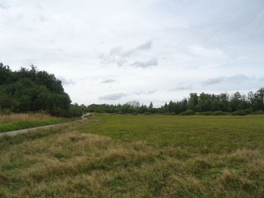
A sketch regional plan that proposed to stop ring-by-ring growth and concentrate new building in narrow fingers along existing and planned suburban railway lines, keeping green wedges between them for farming and recreation close to the centre.
How it came about and changed
- 1922–1936
The Danish engineers' association set up a traffic-line committee in 1922 whose 1926 report sketched a main road system for Copenhagen. In response, Dansk Byplanlaboratorium in 1928 created the regional planning committee (Egnsplanudvalget), chaired by Steen Eiler Rasmussen, which argued that traffic should be a means, not the goal; its report on the green areas of the Copenhagen region (published as a book in 1936) proposed, among other things, a forest west of the city.1
- 1945–1947
Regional planning work resumed in March 1945. A regional planning office (Egnsplankontoret) led by architect Peter Bredsdorff was set up, with Rasmussen chairing the committee, and the sketch proposal (Skitseforslag til egnsplan for Storkøbenhavn), the Finger Plan, appeared in 1947. It concentrated growth in narrow urban fingers along existing and future S-train lines, with green wedges reaching close to the centre and a 45-minute travel target to the single main centre.12
- 1947–1950
The plan was never officially adopted; a final regional plan was intended but its sketch was never approved by the committee, and the planning office was closed in 1950. Its ideas were nevertheless given legal force through the 1949 town regulation act (Byreguleringsloven).21
- 1958–1963
Growth in population, car ownership and land take outran the plan by the mid-1950s. The housing ministry started new regional planning in 1958; a 1960 'Principskitse' adding large new centres west and south-west provoked strong debate and was revised into the 1st stage plan (1. Etapeplan) of 1963.1
- 1973–1989
Regional Plan 1973 (issued 1974 under the new Hovedstadsrådet, the capital-region council created with the first regional planning act for the capital region in force from 1974) added 1 km wide transport corridors to the finger structure. Regional Plan 1989 scaled expectations down before Hovedstadsrådet was abolished (1989/1990).1
- 1990–2005
Regional planning passed to the City of Copenhagen, Frederiksberg and the three capital counties (regional plans 1993 and 1997), then to the Greater Copenhagen Authority (HUR, from 2000), whose Regional Plans 2001 and 2005 kept the finger structure as the guiding principle; the 2005 plan added a fourth green ring.1
- 2006–2007
The Finger Plan was included in the Ministry of Culture's Cultural Canon (architecture) in 2006. After the 2007 local government reform abolished HUR and regional plans, the state issued 'Fingerplan 2007' as a binding national planning directive (landsplandirektiv) for the capital area.12
- 2017–present
In 2017, the plan's 70th anniversary, the business ministry began a modernisation in two tracks alongside revision of the Planning Act. Fingerplan 2019 (executive order no. 312 of 28 March 2019) is the directive for the 34 municipalities of the capital area, dividing it into the inner and outer metropolitan areas, the green wedges and the rest of the capital area.34
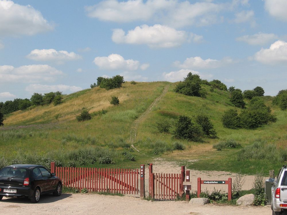

Approvals and legal steps
- 1947 The 1947 sketch proposal was never officially adopted (Lex); Rørbech notes the follow-up final regional plan was never approved by the Egnsplanudvalg.21
- 1949 The plan's ideas were given legal force through the town regulation act (Byreguleringsloven) of 1949.2
- 1974 First act on regional planning in the capital region came into force, making Hovedstadsrådet the regional planning authority; Regional Plan 1973 was issued in 1974.1
- 2007 Following the 2007 reform, the Planning Act provides for state national planning directives for the capital area; Fingerplan 2007 was issued by the environment ministry as such a directive, its 'rules' part being legally binding.1
- 2019 Bekendtgørelse nr. 312 of 28 March 2019 (Fingerplan 2019 – landsplandirektiv for hovedstadsområdets planlægning), issued under §3(1) and §5j(4) of the Planning Act.4
Funding
- 1945–1947 The revived regional planning work of Dansk Byplanlaboratorium and the Egnsplanudvalg was supported by all three counties, all municipalities of Copenhagen County, several municipalities in Frederiksborg and Roskilde counties and various organisations; the state (the Ministry of Labour, which feared post-war unemployment) also contributed financially. No amounts are given.1
People
- Peter Bredsdorff Architect; head of Egnsplankontoret, which prepared the 1947 plan
- Steen Eiler Rasmussen Architect and planner; chair of the Egnsplanudvalg and of the committee that led the work; initiator of the regional planning effort
- Dansk Byplanlaboratorium Private planning organisation that set up the Egnsplanudvalg (1928) and revived the work in 1945
- Egnsplankontoret for Storkøbenhavn Regional planning office that published the plan (1947); closed 1950
- Hovedstadsrådet / HUR Later regional planning authorities (1974–1989/90; 2000–2006)
- Danish state (environment ministry, later business and planning ministries) Issuer of the Finger Plan directives since 2007
Sources for this page
- Plan- og Landdistriktsstyrelsen (hosted document), Fingerplanen og transportkorridorerne – en genial plan for Hovedstadsområdets struktur (Jens Rørbech, 2010–2011)
- Lex, Danmarks Nationalleksikon, Fingerplanen (Kai Lemberg, Merete Harding)
- Erhvervsministeriet, Hvad er fingerplanen? (fact sheet, 4 April 2017)
- Lovtidende A / Retsinformation, Bekendtgørelse nr. 312 af 28. marts 2019 om hovedstadsområdets planlægning (Fingerplan 2019)
- Wikidata, Copenhagen (Q1748)
Researched on 2026-11-19 from the sources listed; a fact that could not be confirmed in a source was left out. Pictures are public domain or under an open licence, credited as their file page asks.
The question it brings · interpretation
If you drew your region as a simple figure, which open land would read as the gaps that must stay open, and what holds that line?
Each question is Field Method’s interpretation, not a claim made by the source.
The date
Year the sketch proposal was issued by the regional planning office. It was a draft and was never officially adopted.